


Collaborative map tool FacilMap & How we chose the region
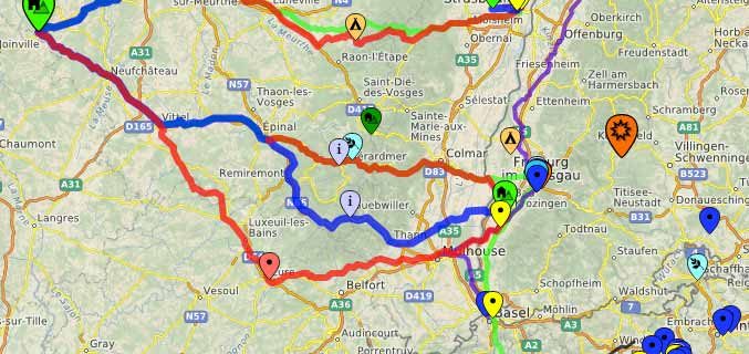
Collaborative opensource map tool For the planning of the Biketour, we have an online tool, an interactive, editable map where we can all work together. Anybody who’s been organising this tour can add projects, nice places, interesting events and other relevant things. You can switch on and off marker types and routes you want to look at on the right side of the map. If you click on a marker or a line, it shows you more information like descriptions, contact-details and for routes the elevation profile. Because it’s openly published, this map is a non-editable version of the map. For the…